The Hellenic Navy Hydrographic Service, the official hydrographic agency in Greece, performs hydrographic works with the primary purpose of creating and updating official Greek navigational charts and publications. Further, it undertakes hydrographic works for the account of third parties, local port authority funds and various public entities. These works are undertaken at the request of interested parties to the HS. Once the HS has estimated the cost of the works, it proceeds to the signing of a contract which specifies the details of the worksite and deliverables.
Hydrographic surveys include field collection and processing of data, preparation and/or updates of navigational charts and publications. These data include:
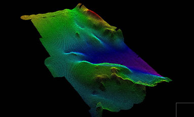
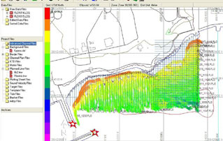
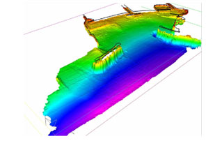
- Seabed depth and morphology
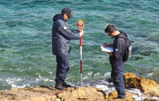
- Topographic mapping, and coastline and coastal area morphology;
- Details and positions of navigational hazards and obstacles (e.g. shipwrecks, dirty seabeds, submarine cables and wires, etc);
- Details and positions of navigational aids (e.g. lamps, beacons, buoys, known marks)
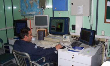
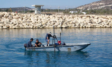
Field works are performed by hydrographic crews, comprising specialised scientific and technical, military and civilian staff. The staff are allocated to individual crews and board on hydrographic vessels, and also perform land geodetic and topographic survey tasks required.
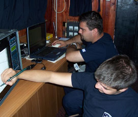
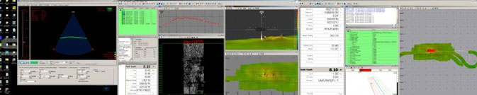
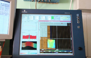
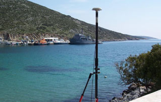
Key to the performance of hydrographic works is the special and suitably-equipped vessels. These are hydrographic ships for offshore sounding and boats for coastal areas, which are equipped with permanently installed, integrated hydrographic systems. These comprise:
- precise positioning system (GPS).
- single- or multi-beam echo-sounder.
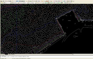
- data collection and processing software that combines the position-depth data.
For very shallow areas, suitable portable systems are used which enable temporary installation on smaller boats.
Topographic works are performed to map the coastline and morphology of the coastal zone, and port infrastructures.
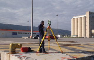
The geodetic works performed to incorporate all the above data in the map’s coordinates system are of paramount importance.
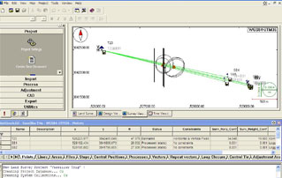
Subsequently, data processing takes place, where necessary reductions are made to map reference levels, appropriate corrections are implemented and quality control is performed. Finally, a bathymetric chart is prepared, which is used to produce and update the final products of the HS, and is kept in the records for future use.
All works and data processing are carried out in line with the technical guidance of the International Hydrographic Organization (IHO). Such specifications have been incorporated in the standing Hydrographic Instructions given to the Hydrographic Crews.