The Hellenic Navy Hydrographic Service (HNHS) compiles Additional Military Layers (AMLs) to support the Hellenic Navy operational needs.
AML (Additional Military Layers) is a NATO standard ratified under STANAG 7170 and is defined as:
“...a unified range of digital geospatial data products designed to satisfy the totality of NATO non navigational maritime defense requirements’’
AMLs are sets of geospatial data products for the publication and exchange of all types of:
- Hydrographic information beyond that necessary solely for maritime navigation as defined by International Convention for the Safety of Life at Sea (SOLAS), 1974, Chapter V.
- Oceanographic climatological information
- Meteorological climatological information
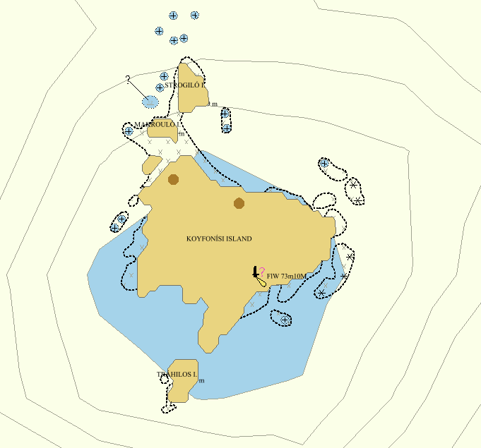
The basic AML layers produced by HNHS are:
Vector:
- CLB (Contour Line Bathymetry)
- ESB (Environment, Seabed and Beach)
- LBO (Large Bottom Objects)
- MFF (Maritime Foundation and Facilities)
- RAL (Routes, Areas and Limits)
- SBO (Small Bottom Objects


