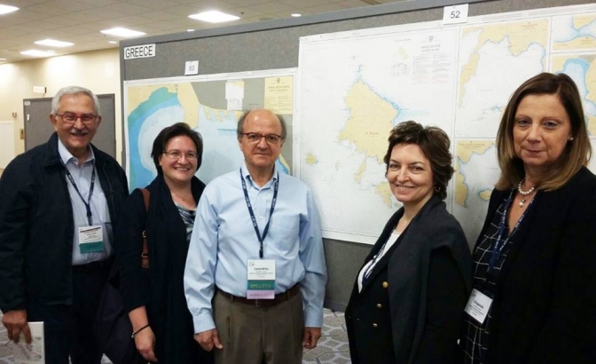
The Hellenic Navy Hydrographic Service (HNHS) participated at the Map Exhibition of the 28th World Mapping Conference that was held in Washingtonon 2-7 July 2017, with the paper nautical charts ΧΕΕ 311/3 (Port of Thessaloniki) at scale 1:6000 andΧΕΕ 3315 (Island of Skiros) at scale 1:50000.
The posting of the charts of HNHS’s participation was looked after the Hellenic Cartographic Society (HCS) and the laboratories of Cartography of the NTUA and the Aristotle University of Thessaloniki.