
ΑΡΧΙΚΗ
- Πληροφοριακά Στοιχεία
- Γράφτηκε από τον/την gveranis
- Κατηγορία: Uncategorised
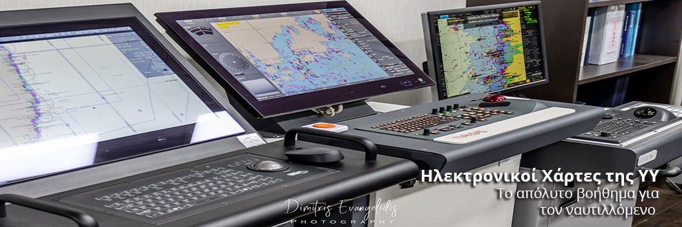
Καλώς ήρθατε στην επίσημη διαδικτυακή πύλη της Υδρογραφικής Υπηρεσίας του Πολεμικού Ναυτικού. Μέσα από τις σελίδες της μπορείτε να πληροφορηθείτε για το έργο, τις δραστηριότητες και τα προϊόντα της υπηρεσίας μας.
Για την εξυπηρέτησή σας, η ιστοσελίδα παρέχει online υπηρεσίες όπως η γεωγραφική αναζήτηση προϊόντων μέσα από το ηλεκτρονικό Γεωευρετήριο καθώς και δυνατότητες αγοράς μέσα από το Ηλεκτρονικό Κατάστημα.